Day 6: August 9, 2007.
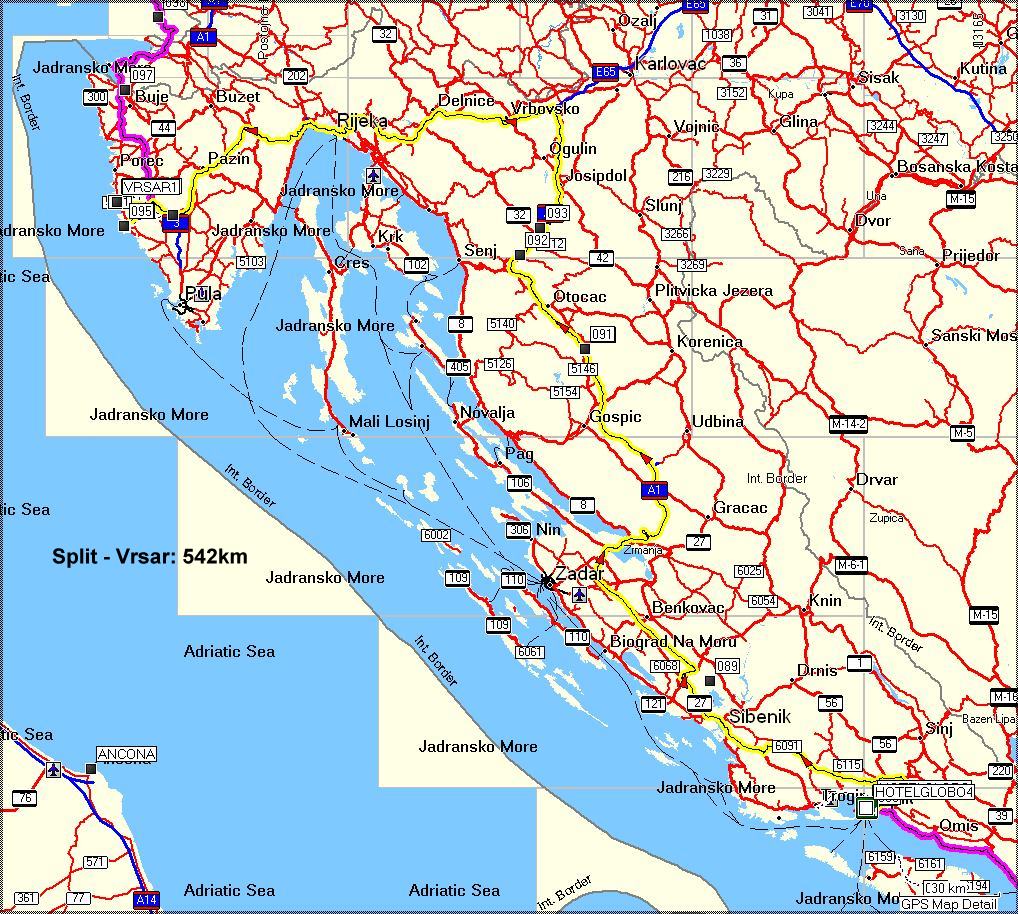
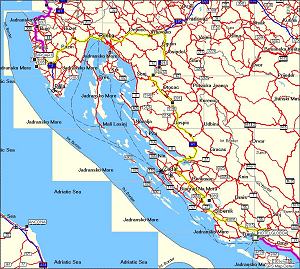
Split to Vrsar
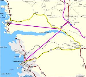
(click on above pic to view it larger. It will open in a new window).
The yellow line is the route we did. Almost. In fact since the GPS map was made, a new part of the A1 route has been given to traffic, from Split to Zadar. From Zadar going north you can see the actual road we took. This route we chose to do mostly on motorway, since it was a: 540 km long, and b: having seen the coastal road before, we suspected it would be hugely trafficked. On this trip we first encountered a few drops of rain, near Rijeka.
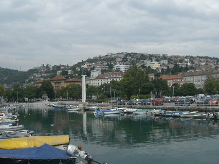
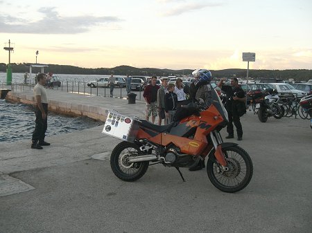
Rijeka.
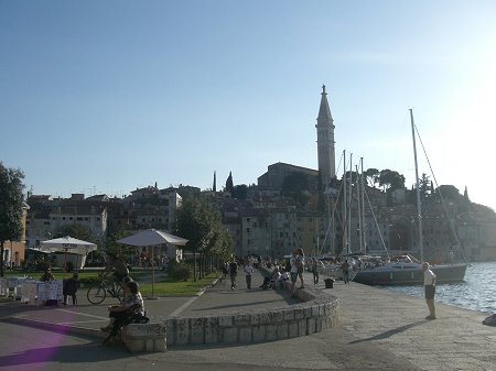
Rovinj. Beautiful place, nice old town.
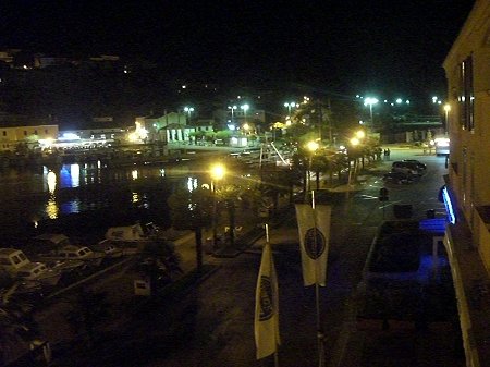
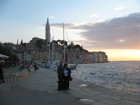
Vrsar by night. And if you wonder, the name in Italian is a lot easier to pronounce: Orsera!
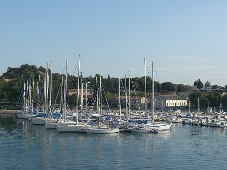
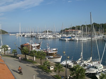
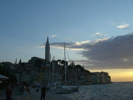
Nice little port and not so expensive boats in front!
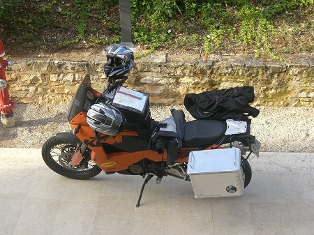
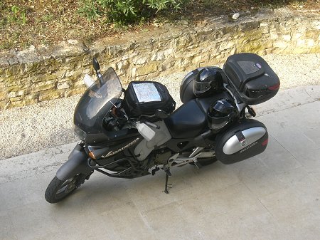
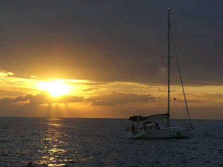
Ready to leave for Venezia.
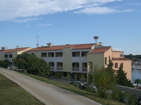
The Pineta hotel we stayed at.
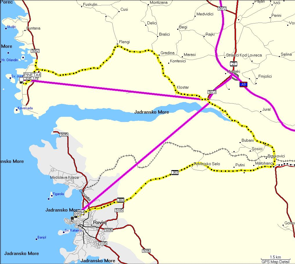
(click on above pic to view it larger. It will open in a new window).
The yellow dotted line is the track recorded by the GPS.
Rovinj is at waypoint 095 and Vrsar is at waypoint marked "Pineta4". We came from the south (lower right on the map), first went to Rovinj, then back east (right), around the canal, and then west to Vrsar. The straight purple lines note that the GPS map doesn't have roads going to either place!
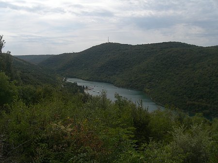
Along the canal we stopped for a couple of pics...
...then straight to Slovenia and Venezia!
Next day: Vrsar to Venezia, through Slovenia and Trieste.
Or... Go back to the start!